

Land surveying uses horizontal and vertical angles to measure distances between three-dimensional and terrestrial positions located on the Earth. Surveyors will establish coordinate points along the Earth's surface to determine boundaries for property ownership as well as creating lines and maps. Global Positioning Systems help define coordinate boundaries using longitude and latitude positions to establish permanent boundary markers. Surveyors gather this data to improve the accuracy of established marker positions, if applicable.
Review real property dimensions through architecture outlines, blueprints and deeds. Locate an established land boundary marker. Access the Continuously Operating Reference Station that provides GPS data.
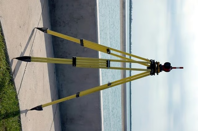
Note the coordinate position consisting of longitude and latitude points. Place a boundary marker into the ground and take another reading at another boundary position to receive a second reading. Use a theodolite total station to establish the boundary line between the two positions and evaluate the accuracy of distance with established measurements from property deeds. If accurate, place another boundary marker into the ground.
Create a schedule of coordinates consisting of information on where the markers have been established for the property boundary as well as what type of marker was used. Each marker will have an individual identification number. Record the identification number along with the longitude and latitude coordinates.