
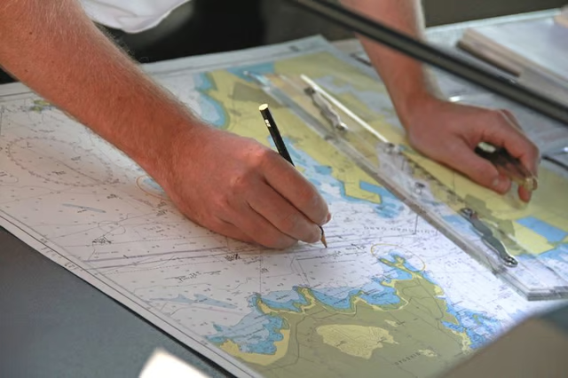
Cartographers use several tools, from basic writing implements to complex satellites for aerial photography, to design and develop maps. Modern mapping has taken traditional handwritten blueprints and turned them into digital versions for online and mobile viewing. Many cartographers specialize in maps for use in vehicles or cellular navigation systems, while others focus on detailed depictions of regions. They rely on various tools to obtain information specific to their map, such as population density or other socioeconomic data.
Tried and True

Telescopes and compasses were the first tools used in cartography and have remained useful throughout the ages. Telescopes allow cartographers and astronomers to create maps of the galaxy or universe, while compasses have proven invaluable even outside cartography. Cartographers use all kinds of compasses, from the folding pillar compass to the sundial, which indicates directions and relies on solar power to align its plate to point North. Other essential tools include triangles and pens with adjustable needle points.
Evolving Equipment

Cartographers frequently use digital cameras and scanners in addition to satellite images to capture visuals for a map. They may utilize drafting equipment, such as lighting tables, straightedges, stencils, lettering aids, drafting scales, T-squares, protractors and dividers, to sketch and develop rough drafts. Despite the growth in online mapping, many cartographers still rely on printing machines to make hard copies. They may use regular inkjet printers or intricate plotter printers.
Reference Guides

Cartographers need reference materials when developing their maps, such as almanacs or ephemerides guides, which are published predictions of locations and times that atmospheric and astronomical phenomena may occur. They use various gazetteers to help them determine locations of area features, like bodies of water, buildings and landforms. For example, The Fuzzy Gazetteer database helps identify geographic features without the exact name. Cartographers also use calculators for distance and time, such as the World Time Zone Map of standard time zones.
Web Capabilities

Cartographers use several technologies, including radar-based surveillance systems and global positioning system (GPS) receivers, but they also take advantage of web tools available through cartographic computer programs. For example, most cartography software includes a latitude and longitude tool that indicates details for a selected location. Programs also include options to mark, move or calibrate specific points or areas on maps to highlight special landmarks or calculate distances between two locations.
